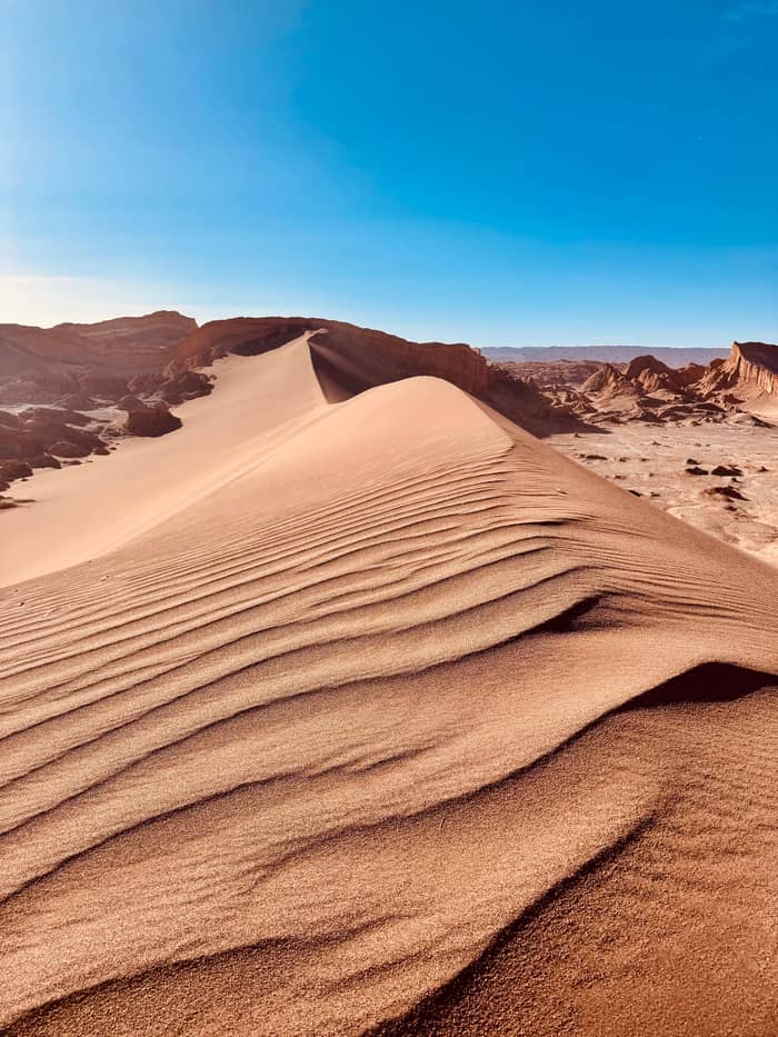
The classic
Valle de la Luna
Salt crust, dunes and ridges
- From town13 km
- Known forSunset, Tres Marias
- ProtectedSince 1982
Locate your stop
Discover 20 stops
Pick a route, then tap a marker or a stop for notes and a Google Maps link.
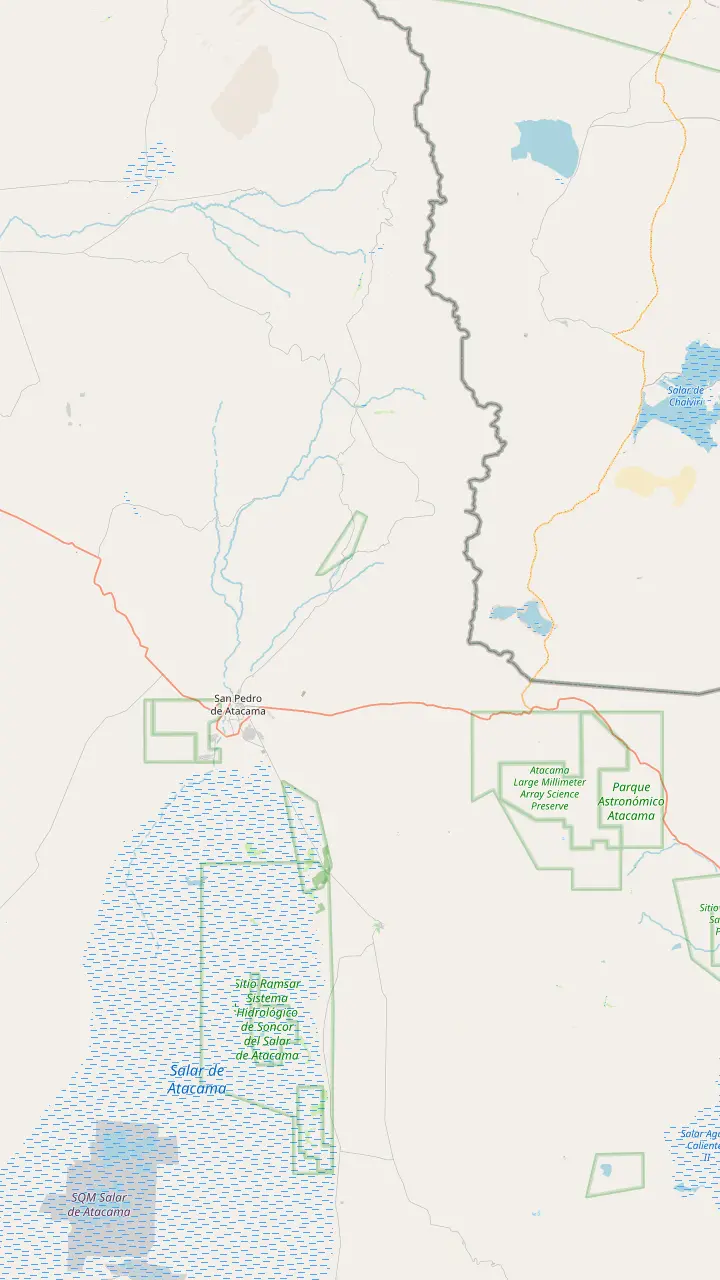
The sanctuary in the Cordillera de la Sal, protected since 1982 and part of the Los Flamencos National Reserve.
Google MapsThe oasis town where every valley tour starts, at 2,450 m above sea level; its church on the main square dates from 1557.
Google MapsMars Valley, also called Death Valley, only 2 km from town among the dunes of the Cordillera de la Sal.
Google MapsThe adobe village of Tulor, more than 3,000 years old, 10 km south-west of town on the road toward the valley.
Google MapsA hillside fortress of the Atacameno people, 3 km from the town center.
Google MapsThe volcano on the eastern skyline that you can see from anywhere in San Pedro.
Google MapsA lagoon on the Atacama Salt Flat, which covers 3000 km2 and is the largest salt flat in Chile.
Google MapsThe geyser field at more than 4,300 m, the classic dawn trip from San Pedro.
Google MapsThe plateau of the ALMA observatory, at 5,000 m, with its 66 antennas.
Google Maps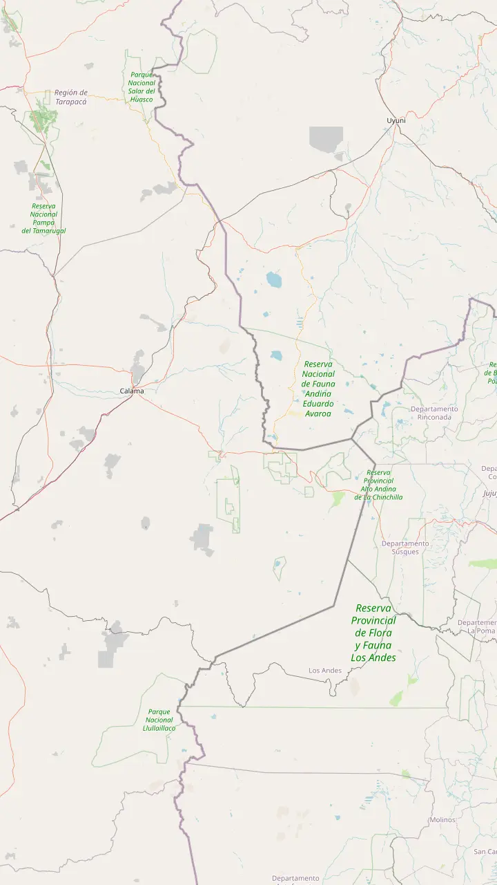
El Loa Airport, the nearest airport to San Pedro, with a terminal that stays open 24 hours a day.
Google MapsThe mining city on the far side of the desert; the valley lies 110 km to its south-east.
Google MapsThe oasis town where every valley tour starts, at 2,450 m above sea level; its church on the main square dates from 1557.
Google MapsThe bus station on the edge of town; CONAF notes that public transport links Calama with San Pedro.
Google MapsThe sanctuary in the Cordillera de la Sal, protected since 1982 and part of the Los Flamencos National Reserve.
Google MapsThe volcano on the eastern skyline that you can see from anywhere in San Pedro.
Google MapsThe Bolivian border post above town, open only to small vehicles and minibuses, at 4,549 m.
Google MapsThe crossing to Argentina at more than 4,300 m, whose nearest towns are San Pedro and Calama.
Google Maps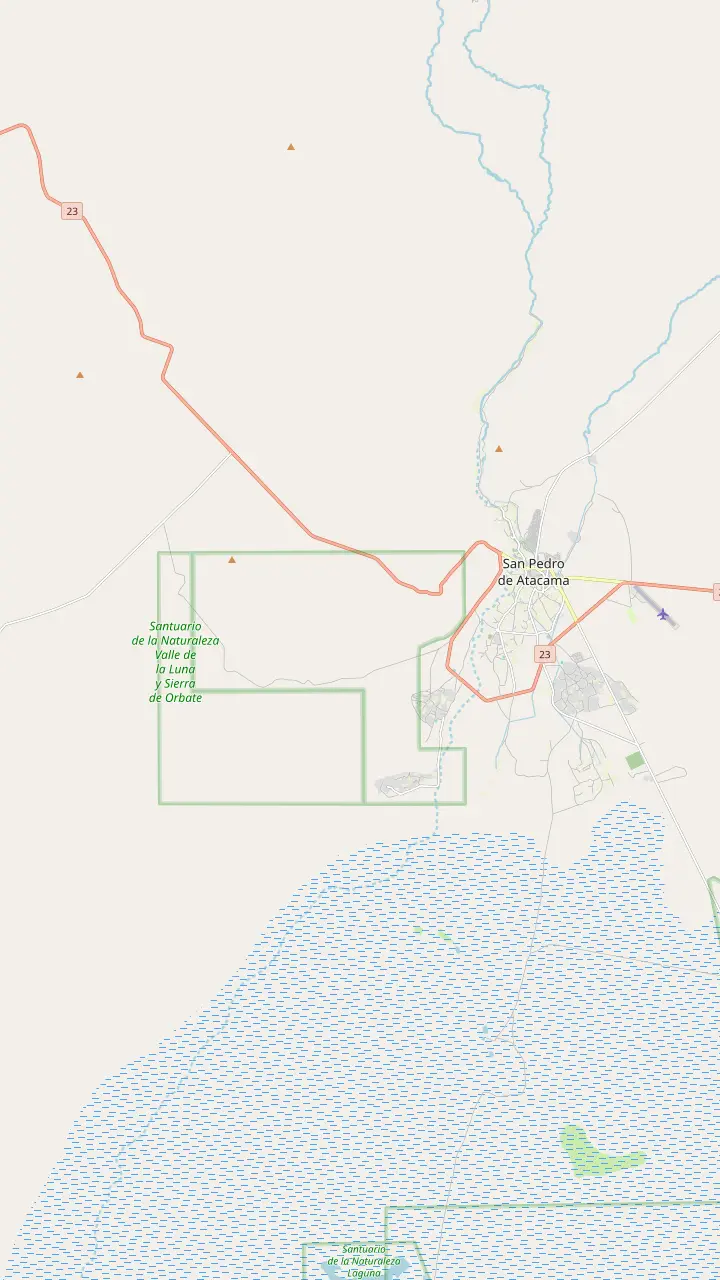
The oasis town where every valley tour starts, at 2,450 m above sea level; its church on the main square dates from 1557.
Google MapsMars Valley, also called Death Valley, only 2 km from town among the dunes of the Cordillera de la Sal.
Google MapsThe sunset ridge that valley tours pair with the Kari viewpoint; local guides rate its sunsets the best around.
Google MapsThe rock formation of the Three Marys: a short walk of 15 minutes at most, with up to 24 people on the trail.
Google MapsAn old mine trail of 892 m; stay on the path, as CONAF warns of a deep shaft.
Google MapsThe Amphitheater, one of the sectors of the valley that are open for walking.
Google MapsThe great dune: CONAF gives its trail as 919 m, 45 to 60 minutes in all.
Google MapsThe viewpoint at the end of the Achache trail, which CONAF lists as 3 km and 3 hours.
Google MapsThe adobe village of Tulor, more than 3,000 years old, 10 km south-west of town on the road toward the valley.
Google MapsA hillside fortress of the Atacameno people, 3 km from the town center.
Google MapsMap © OpenStreetMap contributors
Salt that looks like snow, clay carved by the wind, dunes in a dry canyon: the valley earns its name. This guide covers its rocks, the dryness of the Atacama, why NASA tests Mars robots nearby, and who looks after it.
Editorial team, valledelalunatour.quest · Updated November 12, 2026 · Read in 7 min
Valle de la Luna in the Atacama Desert is not a single canyon but a stretch of the Cordillera de la Sal, the low salt range that runs south-west of San Pedro de Atacama. Its managers put it at 13 km from the town, westward,2 and Chile Travel describes it as a sanctuary of stone and salt, sculpted over millennia by wind and time into dunes, craters and sharp ridges.1
Look closely and you see what it is made of. Chile Travel's description lists giant dunes, crusts of salt that crackle as you step on them, and clay sculpted by wind across millions of years.6 Walk a trail and you pass fins, towers and hollows, each a record of that slow carving, with crests of salt standing above softer slopes of clay.
In places the ground is white. That pale crust is salt, and it is thick enough that many travelers believe they are looking at snow,7 which is part of the valley's strange charm: a frozen look in a hot, dry desert. Admire it without breaking it off, because nothing may be taken from the reserve, not even a stone.8
Key figures
| Fact | Figure | Source |
|---|---|---|
| Distance from San Pedro | 13 km west | Valley association |
| Distance from Calama | 110 km | Valley association |
| Nature sanctuary since | 1982 | Valley association |
| Reserve created | 17 October 1990 | CONAF |
| Reserve area | More than 73,000 ha | Chile Travel |
| Altitude | Above 2,500 m | Chile Travel |
| Communities running entry | 6 | Valley association |
What does Valle de la Luna mean? It is Spanish for the Valley of the Moon, and English speakers also call it Moon Valley. The name describes the feeling the place gives, and Chile Travel compares a visit to landing on another planet,11 with grey-white ground, rounded craters and ridges that look like the photographs brought back from the lunar missions.
The comparison has a sibling right next door. The Valle de Marte, also known as Death Valley, lies only 2 km from San Pedro among the dunes of the same salt range,12 and Chile Travel explains that it was named for canyons, dunes and rock formations like those of the fourth planet.13 Moon and Mars sit side by side in the Cordillera de la Sal, a pairing that guides enjoy pointing out.
You will hear several spellings. Chile Travel's guide calls the formation Tres Marias,14 the GetYourGuide itinerary of the site tour says the Three Marias, and the official ticket page names the sunset lookout the Ckari viewpoint while tour listings say Mirador de Kari.15 Whatever the spelling, signs in the valley use the Spanish names, so it helps to know them.
The valley is a product of extreme dryness. Chile Travel calls the Atacama the driest desert in the world and explains why: it is trapped between the Andes and the Coastal Range, which block moisture from the Altiplano and from the Pacific Ocean.23 With so little water, rocks that would crumble and wash away elsewhere stand for ages, and a light dusting of salt survives on the surface.
That dryness has a rhythm. From December to March, the season called the altiplanic winter sends humid air, rain and storms over the Andes near San Pedro,24 and when it reaches the valley, CONAF closes the trails for rain in summer, as it does for sandstorms in winter.25 The rest of the year the sky is usually clear and the light sharp.
Dryness also shapes what lives here. Most of the Atacama's life, NASA scientists found, exists as microbial colonies underground or inside rocks, because the surface has very little water and intense ultraviolet radiation.26 Larger animals manage too: Chile Travel names the Chilla and the Culpeo, both foxes, along with harriers and thrushes, among the valley's residents.27 If you see a fox, leave it in peace: CONAF forbids feeding or disturbing the native wildlife.28
What draws you
Pick the angle that interests you most and plan around it.
If I love geology
The great dune and the ridges
Dunes, salt ridges and clay shaped by wind.6
If I am curious about Mars
Valle de Marte as well
Named for its likeness to the fourth planet.13
If I want the people's story
Tulor and Quitor
Settlements more than 3,000 and 700 years old.9
If I want the classic view
A sunset tour
The site tour ends at the Kari viewpoint.
If I want the science
ALMA on Chajnantor
Valleys of the salt range
The classic
Salt crust, dunes and ridges
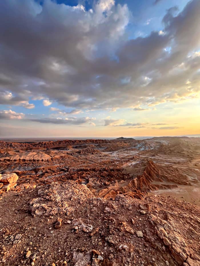
Red rock, big dunes
Also called Death Valley
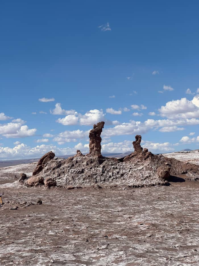
Quieter sunset
Same salt range
The Atacama's emptiness makes it useful to space science. For decades, Chile Travel notes, NASA has tested robots and drills here before sending them into space, because the aridity and the soil chemistry are so close to those of Mars.5 NASA's own astrobiology team puts it the same way: though much warmer than Mars, the region's extreme dryness and soil chemistry are remarkably similar to the Red Planet's.51
The best known project was ARADS, a rover with a drill built to look for traces of life underground. Its scientists worked mainly at Yungay Station, a mining ghost town at an extremely dry spot in the Atacama, owned by the University of Antofagasta,52 and the rover was deployed again in September 2019.53 Even so, Mars is far drier: NASA reckons its surface 1,000 times poorer in water than the Atacama's driest corners.54
The link runs both ways. NASA's Curiosity team recently named a new crater about 10 m across on Mars Antofagasta, after the region where San Pedro de Atacama lies.55 Yungay lies far from the valley, but standing on a salt ridge in the Cordillera de la Sal you can see why engineers come to this desert to rehearse another planet.
See it with a guide
Compare guided afternoons that explain the landscape as you walk.
Compare 3 alternatives
Compare guided afternoons that explain the landscape as you walk.
≈
View≈
View≈
ViewFrom-prices on GetYourGuide, shown at the ECB reference rate. Your exact price is confirmed during booking.
Through time
Deep time
Wind and time sculpt a landscape of stone and salt.1
Over 3,000 years
An early settlement of circular adobe homes nearby.9
Over 700 years
An Atacameno fortress rises above the oasis.9
1982
Valle de la Luna is declared a sanctuary.3
1990
The national reserve is created on 17 October.10
Today
6 communities run the entry with CONAF.4
The valley is not empty land. It belongs to the territory of the Lickanantay people, better known as the Atacamenos, whose ayllus, ancestral farming oases, ring the town of San Pedro.56 Their past is visible nearby: Chile Travel describes the Pukara de Quitor as an Atacameno fortress with more than 700 years of history, and Tulor as a settlement more than 3,000 years old.9
Protection came in layers. The sanctuary status dates from 1982, and the valley sits within the Los Flamencos National Reserve, its gate run by Indigenous communities together with CONAF.3 The reserve itself was created on 17 October 1990,10 and Chile Travel gives its high Andean habitats as more than 73,000 hectares.19
Today 6 communities, Coyo, Larache, San Pedro, Sequitor, Solor and Quitor, form the Asociacion Indigena Valle de la Luna,4 and CONAF describes the reserve as co-administered with Lickanantay communities.57 Each sector of the reserve handles its own access, schedules and tickets,58 which is why the valley ticket is bought on its own system rather than at a national park office.
Video
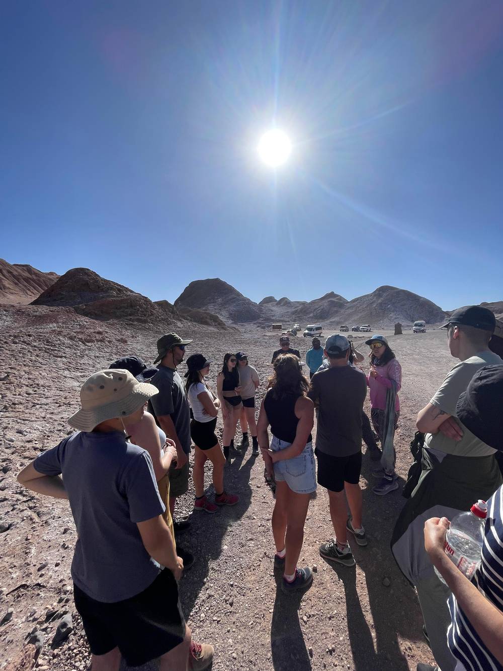
Jill and Hannah on YouTube · Your tap on play is what loads the video.
Imagine huge sand dunes, salt ridges that crunch under your feet, and clay formations sculpted by the wind over millions of years.
Respect the place
Seen on the map, the valley is a doorway to a much larger desert. To its east rises the Licancabur volcano, a cone that every street in San Pedro seems to frame,35 and to the south the Atacama Salt Flat, which covers 3000 km2, the largest in Chile, and holds 40% of the world's lithium reserves.43 North, high in the Andes, lie the El Tatio geysers at more than 4,300 m.44
Further east, the Chajnantor plateau carries the ALMA radio telescope at 5,000 m,22 with 66 high-precision antennas whose images are sharper than those from the Hubble Space Telescope.21 Chile Travel places that plateau among the planet's highest and driest ground,59 the same dryness that keeps the salt ridges of the valley intact.
Compared with those heights the valley is gentle. It lies above 2,500 m,20 only a little higher than the town at 2,450 m,29 which makes it the natural first outing of a stay: low enough for the day you arrive, close enough to reach by bike, and a good primer on the geology you will see again at the lagoons and the geysers.
A few Valle de la Luna facts help you plan. The valley is a protected sanctuary, so the rules are firm: no pets, no drones and no alcohol, as the official ticket page states,46 and no fires or heat sources of any kind, which CONAF says are punished under Law 20653.47 Visits are by day only; overnight stays are not allowed.60
Entry is managed for the landscape's sake. Visitors go in groups of at most 12,61 the walking sectors have controlled entrances with rangers,62 and the paths are marked with strict limits.50 Only marked sectors such as the great dune and the Tres Marias are open to walkers;37 our route page describes every trail.
The easiest way to see it is a guided afternoon. The tour sold on this site spends 4.5 hours in and around the valley with pickup, a guided visit to the Tres Marias, a 40-minute walk and dusk on the Kari ridge, from $60. Another popular tour of 4 hours with pickup costs from $63, and both have guides who speak Spanish and English.
FAQ
A salt range valley at 13 km from San Pedro, to the west.2
Chile Travel compares a visit to walking on another planet.11
A thick salt crust leads many travelers to think it is snow.7
Its entry is run by Indigenous communities in co-administration with CONAF.3
It was declared a nature sanctuary that year and is part of the Los Flamencos reserve.3
NASA's ARADS team worked mainly at Yungay Station, a mining ghost town.52
Its trails start higher than 2,500 m, says Chile Travel.20
Sources
Continue reading
Planning a sunset in the Valle de la Luna? Ask a real person.